SHIRES
Shire of Cunderdin
The Shire of Cunderdin is 1,872 square kilometres in area and has a population of 1,302 (ABS, 2021 Census).
Key industries within the Shire of Cunderdin include cereal and livestock farming, manufacturing, construction, retail trade and transport.
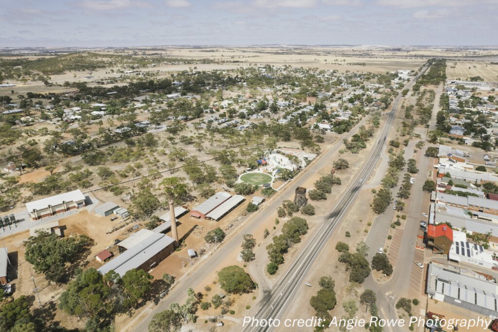
The Shire of Cunderdin is located 158km east of Perth and includes the townsites of Cunderdin and Meckering.
History
On 14 December 1894, the Meckering Road District was created, changing its name to the Cunderdin Road District on 3 November 1944. On 1 July 1961, it became a Shire following the enactment of the Local Government Act 1960, which reformed all remaining road districts into shires.
Settlement in the Cunderdin Shire, by Europeans, started to progress following the building of the railway in 1884. Meckering, originally known as Beebering, was officially declared a township in February 1887. In 1903 when the pipeline to Kalgoorlie was completed, the No 3 Pumping Station in Cunderdin was opened and by 1906 Cunderdin was officially declared a townsite.
The search for pastoral lands east of Perth led explorer Charles Hunt to many towns in today’s wheatbelt, including Cunderdin – a town he named in 1864. Derived from the Njungyar Aboriginal language it is said to mean ‘place of the bandicoot’ but according to another source translates as ‘place of many flowers’.
Shire Snapshot
Total Area
1,872km²
Population
1,302
Sealed Roads
376km
Unsealed Roads
466km
Estimated GRP
$141.356 million (1.6% of the Wheatbelt’s GRP)
Industry
Agriculture is the largest output generating sector, with an estimated annual output of $101.727 million
Employment
Agriculture is the largest industry of employment, supporting an estimated 161 jobs
ATTRACTIONS
CY O'Connor Park & Restrooms
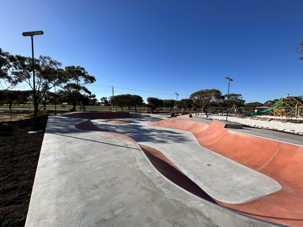
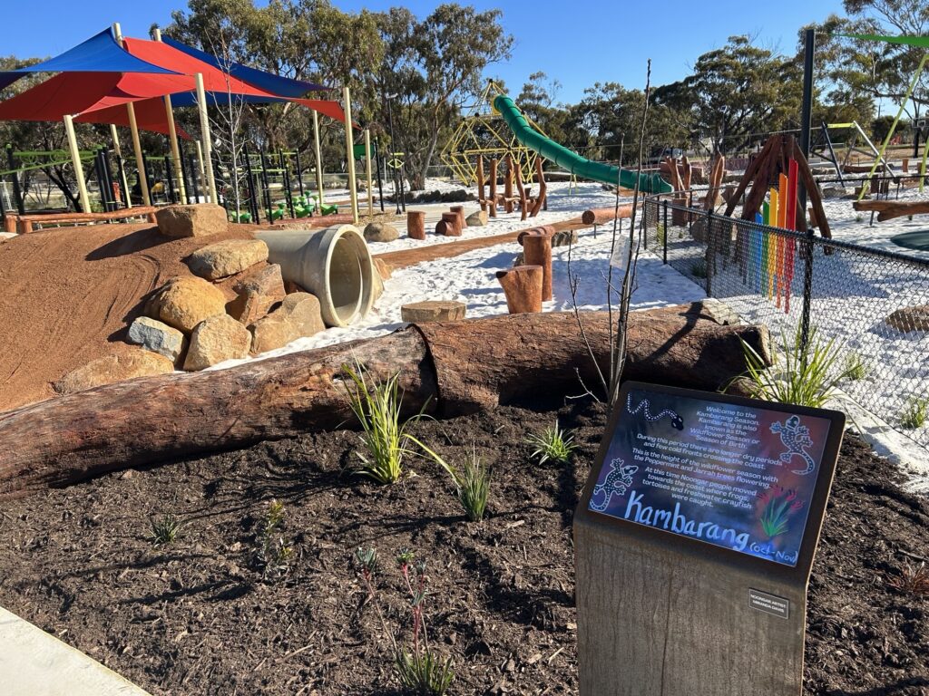
Stop and rest for a while at the O’Connor Park playground. Newly refurbished and full of wonderful play equipment for young and old. The park is an ideal spot for a picnic or a barbeque.
Address: Forrest Street, Cunderdin.
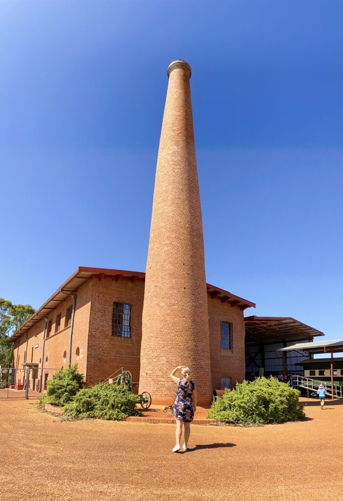
Cunderdin Museum
View the original steam pump used during a bygone era at the Cunderdin Museum, which also houses a Tiger Moth aircraft, the original Quelagetting School, artefacts from the pioneering years and a display depicting the Meckering 1968 earthquake.
Address: Forrest Street, Cunderdin.
Bulgin Rock
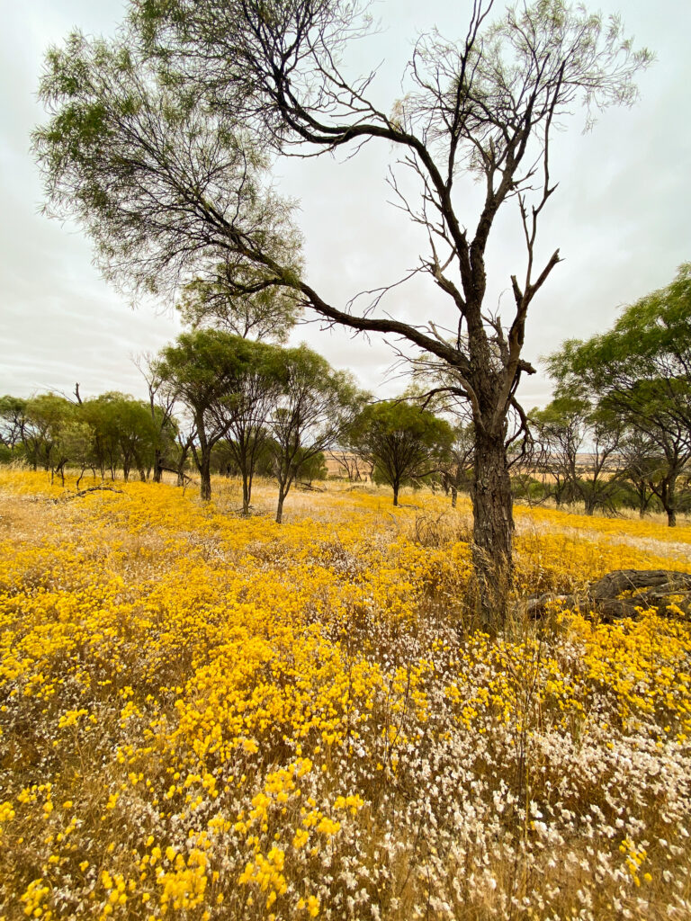
Bulgin Rock is the perfect place to absorb the rolling landscape and it’s easy to see why it’s been a popular picnic spot for more than a century. Sitting amongst the sheoak woodland you’ll probably glimpse a variety of birds and, at the right time of year an abundance of colourful wildflowers including a beautiful display of orchids
Address: Turn off Great Eastern Highway 12kms west of Cunderdin along Collins Road.
Cunderdin Hill Lookout
It appears quite inconspicuous, but it’s definitely worth taking the time to venture to the top of Cunderdin Hill (1km south of the main street). You’ll be greeted by 360-degree panoramic views of the town and surrounding farmland – a view that gives a real sense of the wide open spaces and big blue sky. On your descent you’ll see the local Goldfields Pipeline Reservoir – a 54.5 million litre water reservoir used in conjunction with the Goldfields Water Scheme.
Address: 1km south of Main Street.
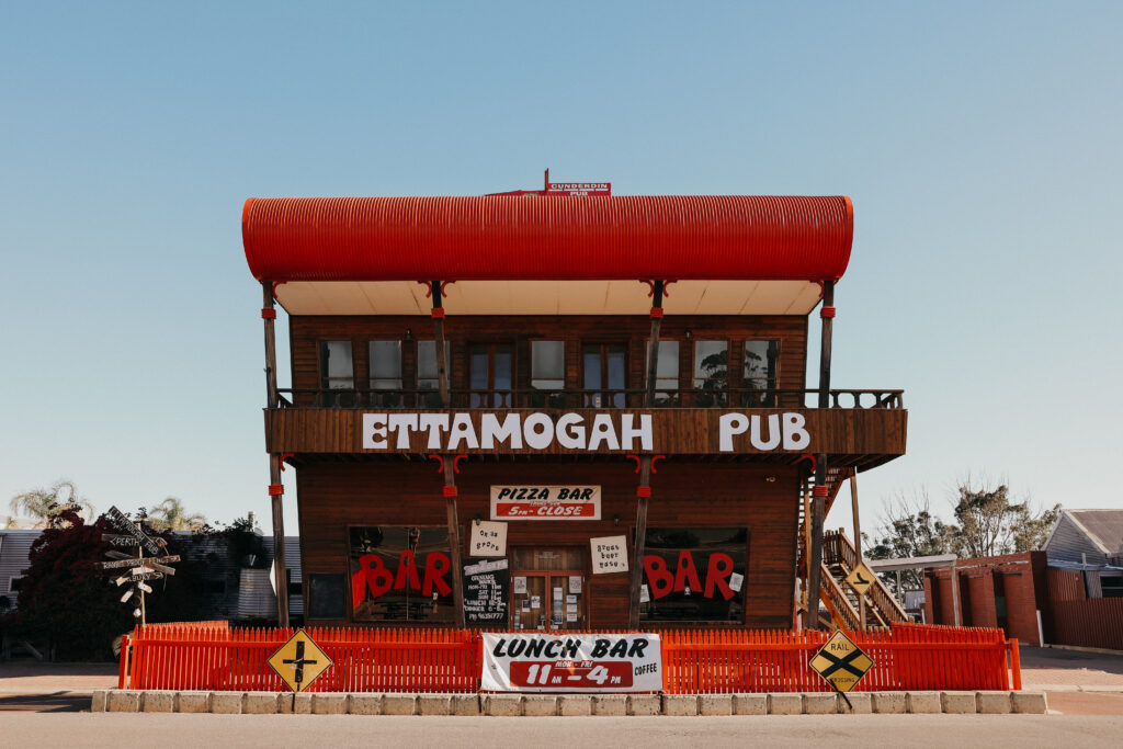
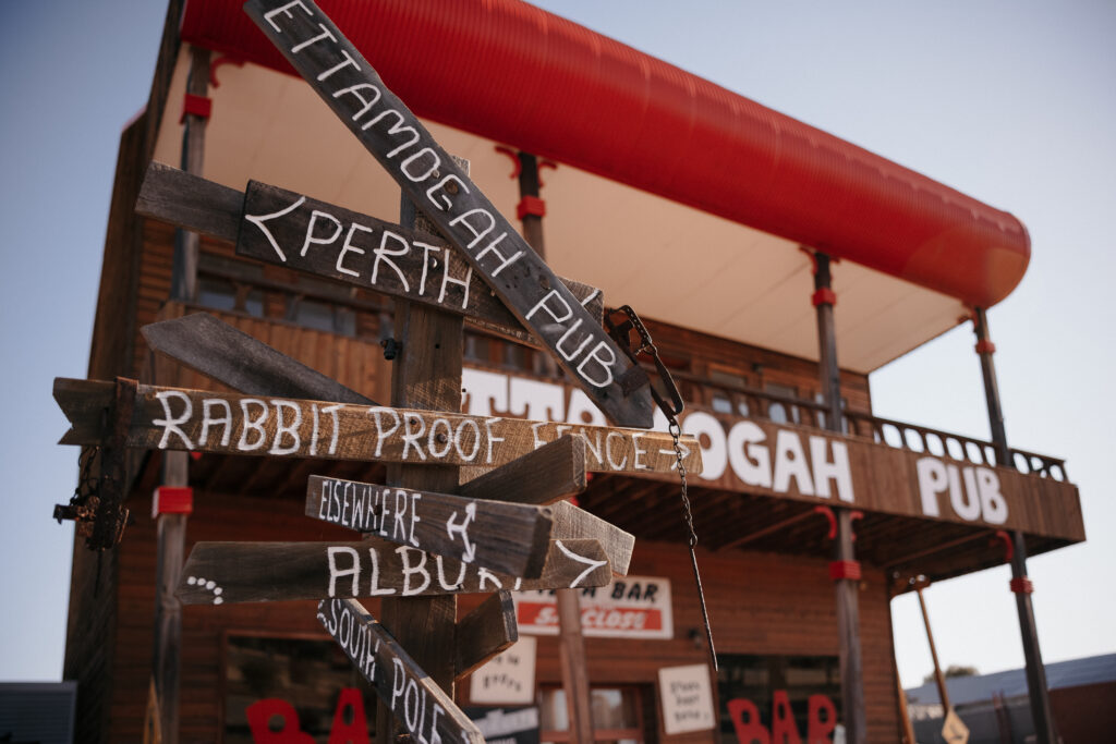
Ettamogah Pub
Based on the well-known comics of Ken Maynard – made famous by the Australian Post magazine – the Ettamogah Pub is not only a novelty for tourists but an important central hub for residents in the Shire.
Address: Main Street, Cunderdin
Youndegin
19km south of Cunderdin you will find the original police outpost. Built from stone and mud with a thatched roof, the outpost’s answer to the modern day ‘lock-up’ was a nearby York Gum. Constable Allerly was the first police officer in charge of the post and the building represented the first settlement in the area.
Address: 19km south of Cunderdin along the Cunderdin-Quairading Road (and then left on the Goldfields Road)
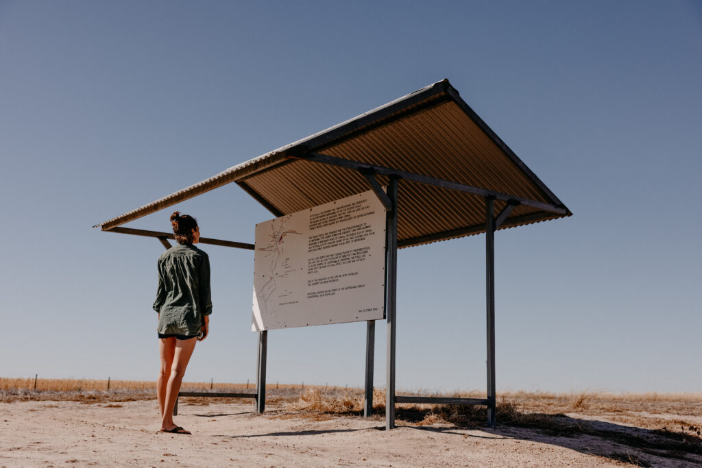
Meckering Earthquake Preserved Faultline
While only lasting 40 seconds, the Meckering Earthquake had a lifetime impact on this small wheatbelt town. Leaving a scar 32kms long and up to 2m high, the earthquake literally tore open the earth on October 14th, 1968. Today you can still see 1km of the Faultline that’s been preserved for viewing.
Address: 12km south of Meckering on the York-Meckering Road.
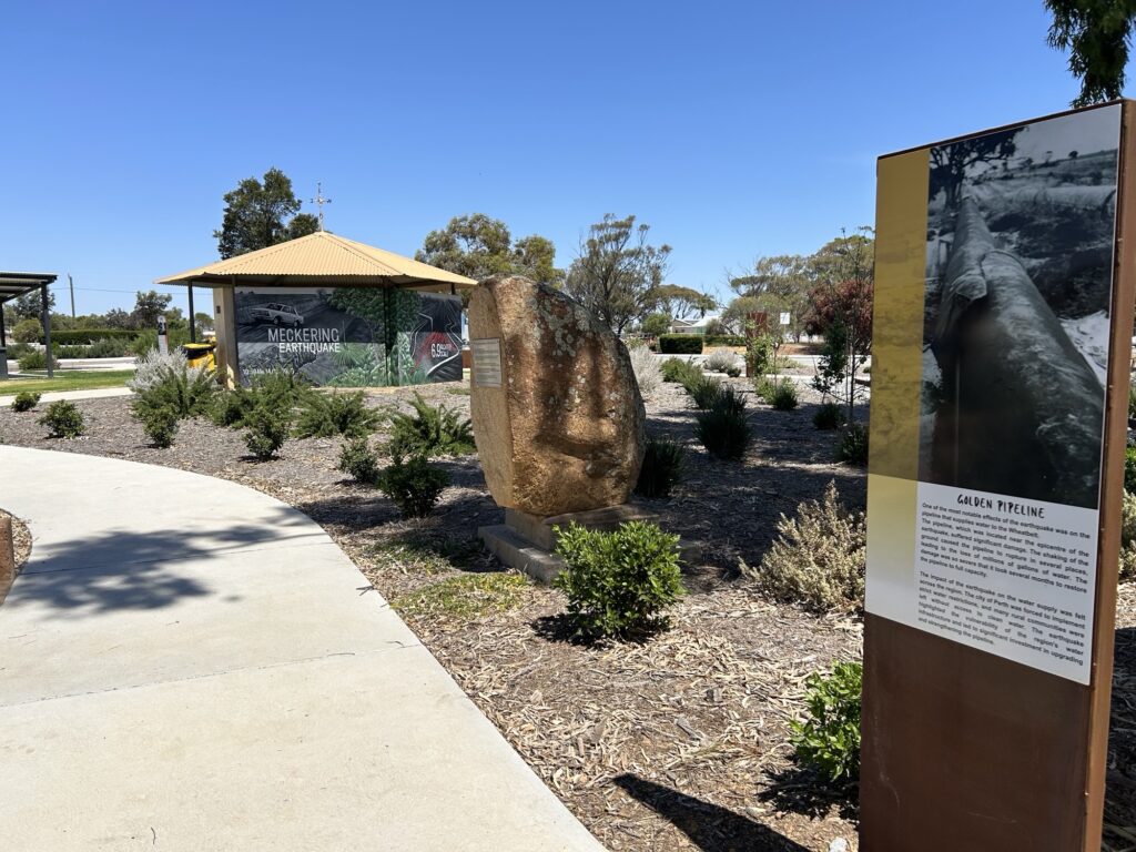
Meckering Earthquake Gardens and Memorial Rose Garden
Experience the devastation of the 1968 Meckering Earthquake firsthand at this impressive display which includes a section of the damaged railway line, a mangled piece of the Golden Pipeline, photographs, statistics and information.
Take a stroll across the road to the beautiful memorial rose garden – a tribute to the dedication and hard work of many local volunteers.
Address: Gabbedy Place, Meckering
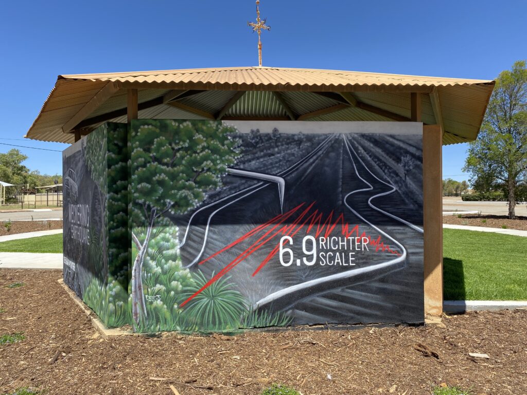
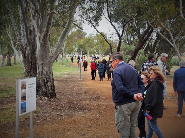
Meckering Earthquake Walk Trail, Mosaic Pathway & Murals
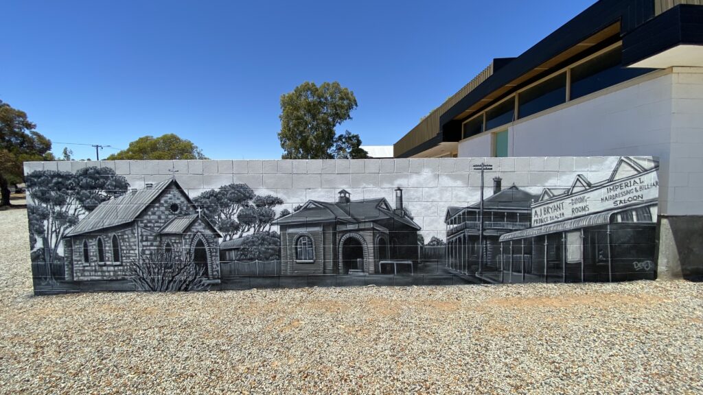
Starting from the Earthquake Gardens in the centre of town, meander down the mosaic pathway, past the Big Camera and onward to the Earthquake Walk Trail. The trail leads visitors on a journey through the old main street of Meckering and tells the tail of a once thriving town reduced to rubble in the space of 40 seconds.
Murals on the town hall capture Meckering’s heyday, while a striking artwork on the gazebo in the Earthquake Garden serves as a powerful reminder of the impact of the 1968 earthquake.
Address: Start at Gabbedy Place and walk east toward Byfield Street. The town hall is located on the corner of Kelly Street and Snooke Street.
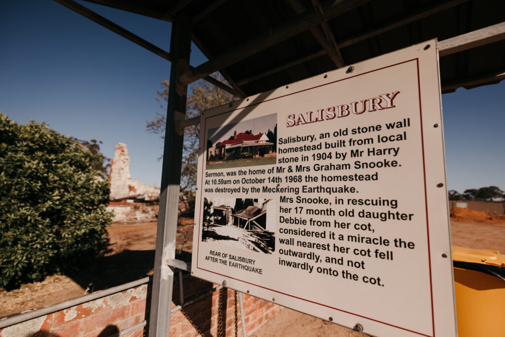
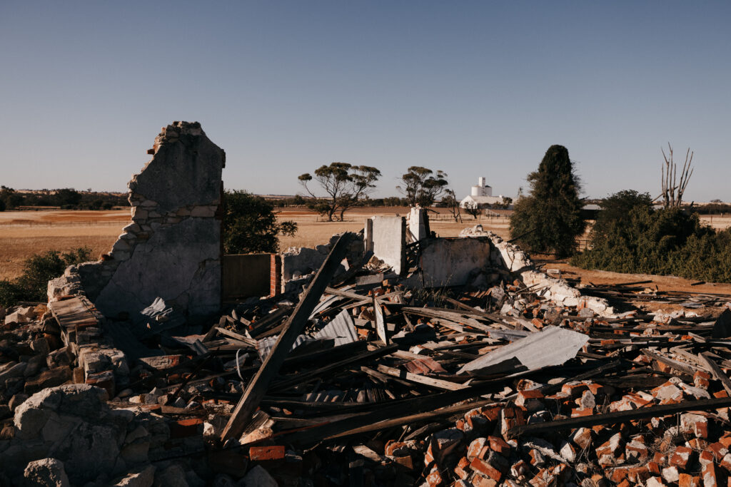
Meckering Earthquake Farm Ruins
The Meckering Earthquake registered 6.9 on the Richter scale, crushing many of the town’s buildings and residential properties. ‘Salisbury’ – an old stone homestead built in 1904 – was flattened during the quake and the ruins give an eerie insight into the scale of the devastation experienced by the town.
Address: 2km north of Meckering, turn off Meckering to Goomalling Road.
For more information about what there is to see and do, and where to stay in the Shire of Cunderdin visit:
Connect with the Shire of Cunderdin
Address:
Phone:
Email:
Website:
Facebook Link:
Instagram:
Lundy Avenue, CUNDERDIN WA 6407
(08) 9635 2700
admin@cunderdin.wa.gov.au
www.cunderdin.wa.gov.au
https://www.facebook.com/ShireofCunderdin