SHIRES
Shire of Westonia
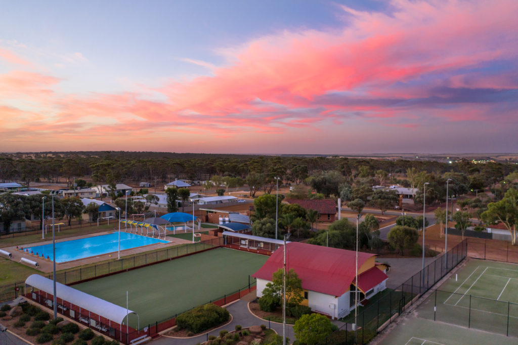
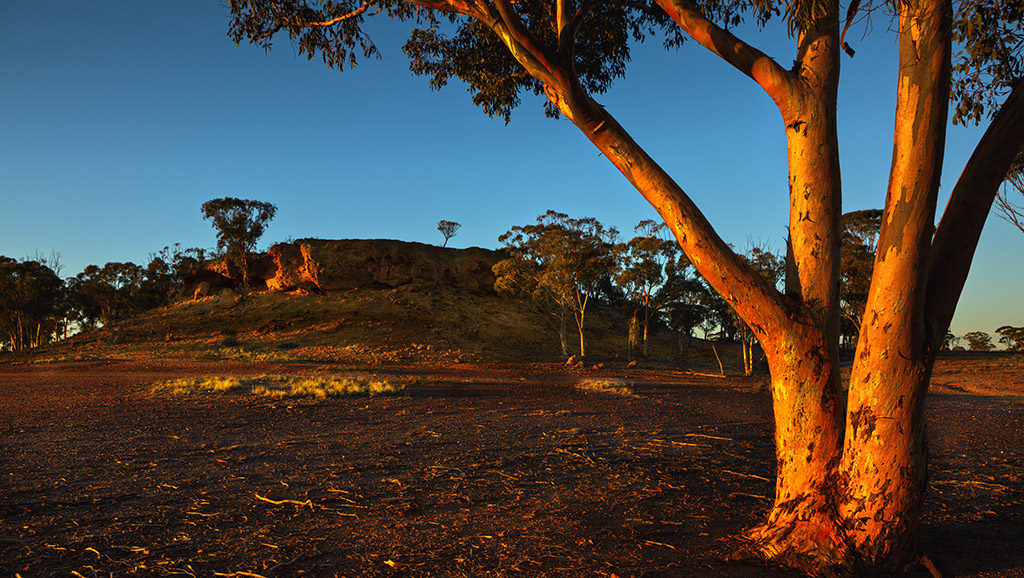
“A vibrant community lifestyle”
The Shire of Westonia covers an area of 3,268 square kilometres and has a population of 248 (ABS, Census, 2021).
Located 312kms east of Perth and 306kms west of Kalgoorlie, the Shire comprises the town site of Westonia and the localities of Walgoolan, Carrabin, Warralakin and Elachbutting.
Westonia’s main industries are broadacre wheat and sheep farming, and gold mining.
History
The town of Westonia was named after Alfred David Weston, a sandalwood cutter who prospected in his spare time, and discovered gold near Boodalin Soak in 1910. He pegged the lease and started mining, creating a rush of gold prospectors to the area. Initially the area was known as Weston’s Reward and later as Westons.
A month after Alfred Weston made his initial application for four gold mining leases, Edmund Annear of Burracoppin made an application for a mining lease three miles south east of Weston’s leases at the Boodalin Soak. Annear named the lease the Edna May after an aunt. This lease would eventually become Westonia’s Edna May Gold mine, a mine that has been an active gold mine four times since the initial lease was pegged.
By 1915 there were two major mines in the area, and the population was in excess of 500. By 1917 the area, by then known as Westonia, had a population of more than 2,000. In 1919, low gold prices forced the closure of the mines, and many people left the area.
Westonia was gazetted as a town in February 1926. In 1935 one of the mines reopened, but closed again in 1948, only to be reopened in 1985. The mine then closed once again in 1991. In mid-2009, it was announced that mining would once again commence at Westonia’s Edna May Gold Mine, owned and mined by Evolution Mining with the first gold pour made in May 2010, coinciding with the centenary of the discovery of gold in the district.
By the 1930’s the district had also been extensively developed for agriculture and wheat/sheep farming now represents the primary industry in the area. Westonia has however always benefitted greatly from the coexistence of both the mining and agricultural industries within the shire.
Shire Snapshot
Total Area
3268km²
Population
248
Sealed Roads
121km
Unsealed Roads
764km
Estimated GRP
$119.829 million (1.3% of the Wheatbelt’s GRP)
Industry
Mining is the largest output generating sector, with an estimated annual output of $297.566 million
Employment
Mining is the largest industry of employment, supporting an estimated 157 jobs
Attractions
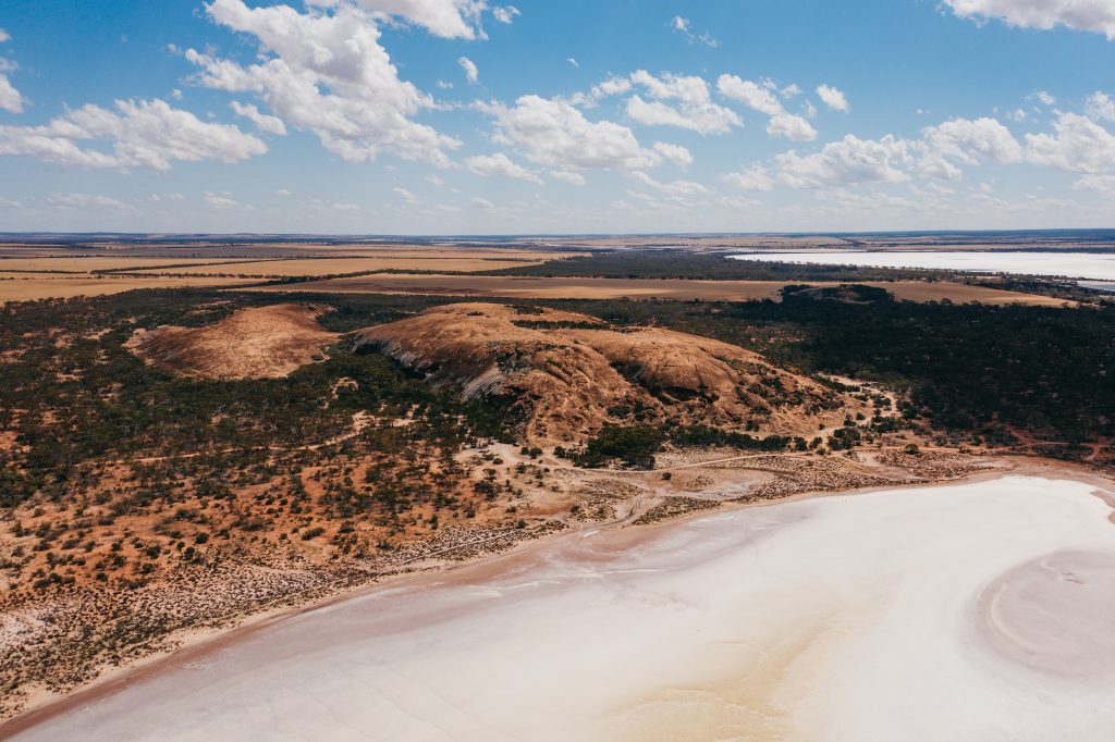
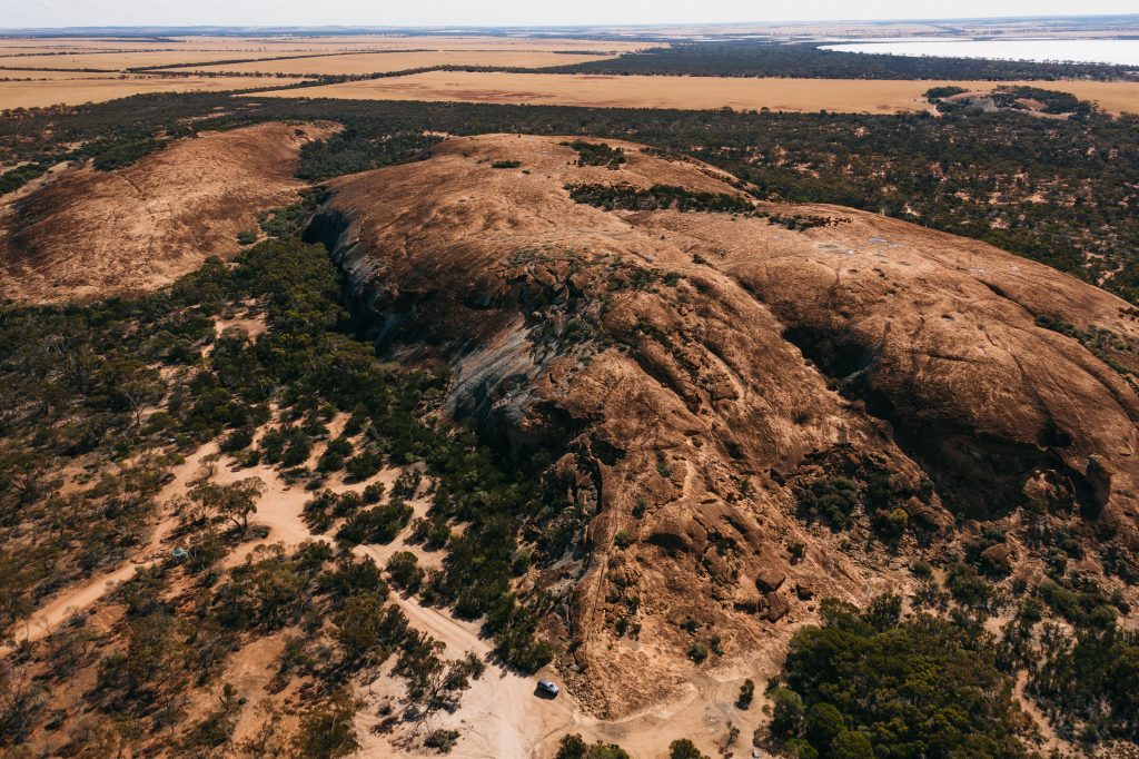
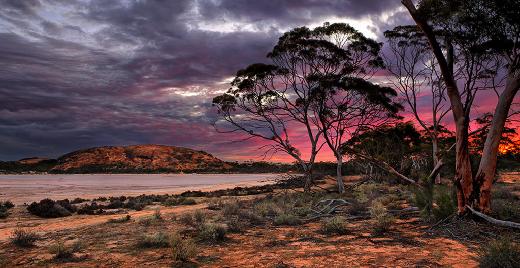
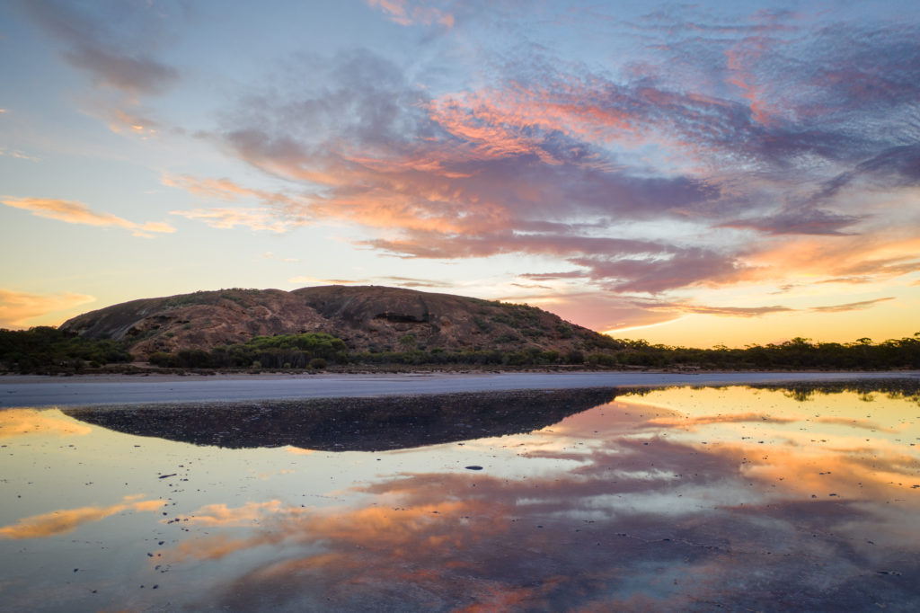
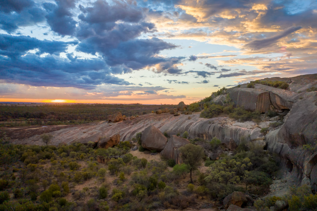
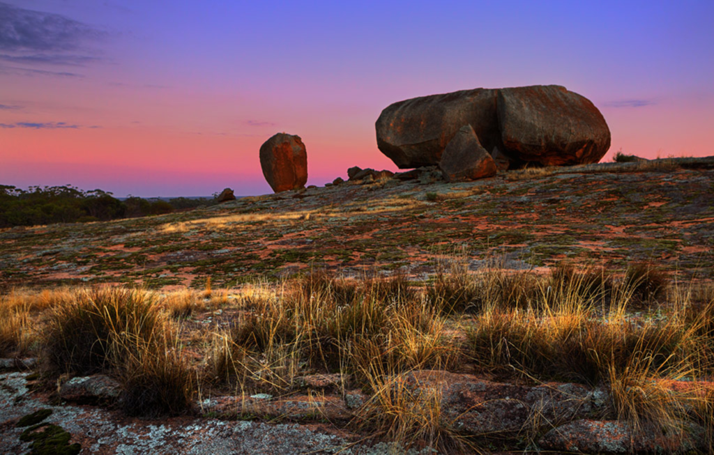
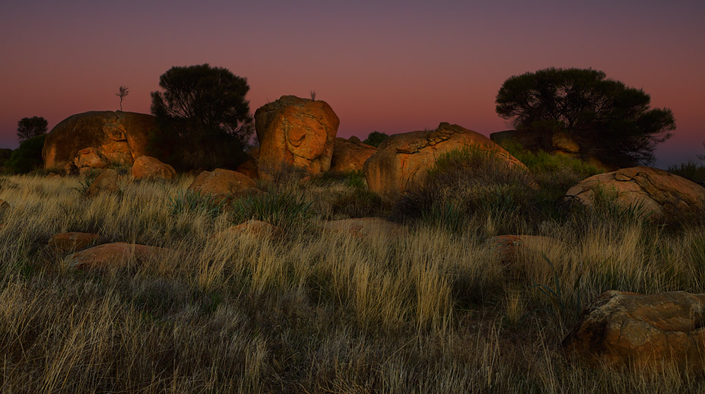
Baladjie Rock
Baladjie Rock is on the southern edge of the Baladjie salt lake system and is accessible via a well maintained unsealed track off the Koorda-Bullfinch Road, approximately 42 km north-east of Westonia and has plenty of spots for camping, camper trailers and caravans.
The extensive rock outcrops are situated in an attractive woodland adjacent to the Baladjie Lake Nature Reserve. A climb up the main rock affords a spectacular view over the lake system and surrounding woodlands. This large granite outcrop has been sculpted by the elements over time, pockmarked with caves, overhangs and fractures and is peppered with ponds, fringed with sheoaks and alive with birds.
Address: Koorda Bullfinch Road, 42 kms north-east of Westonia
Chiddaracooping Reserve
Chiddarcooping Reserve is a nature reserve covering 5,262 hectares of bushland. The reserve is abundant with unique flora and fauna and also contains granite outcrops, breakaways and pools. Further information is available from CALM Merredin on (08) 9041 2488.
The reserve is located 50km north of the Westonia Townsite.
Address: Chiddarcooping Nature Reserve, Warralakin WA 6421
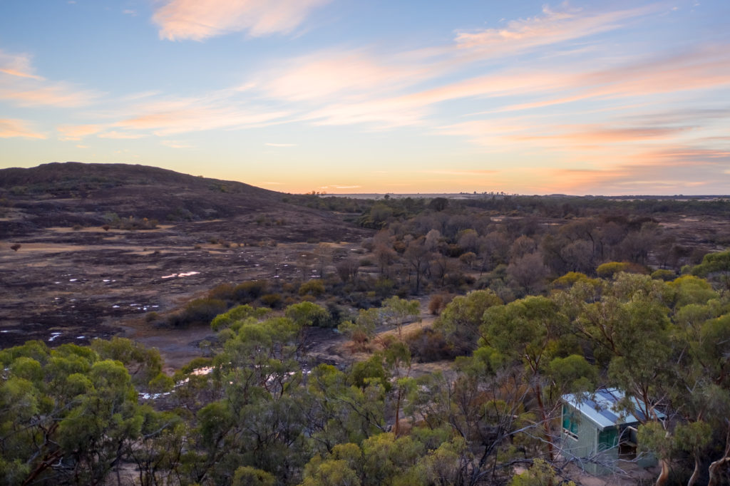
Westonia Common
Westonia town-site is significant in that it has the unique charm of being nestled inside approximately 5,600 hectares of remnant bushland, known as the Common.
Address: Surrounds Westonia Townsite and heads out along Stoneman road.
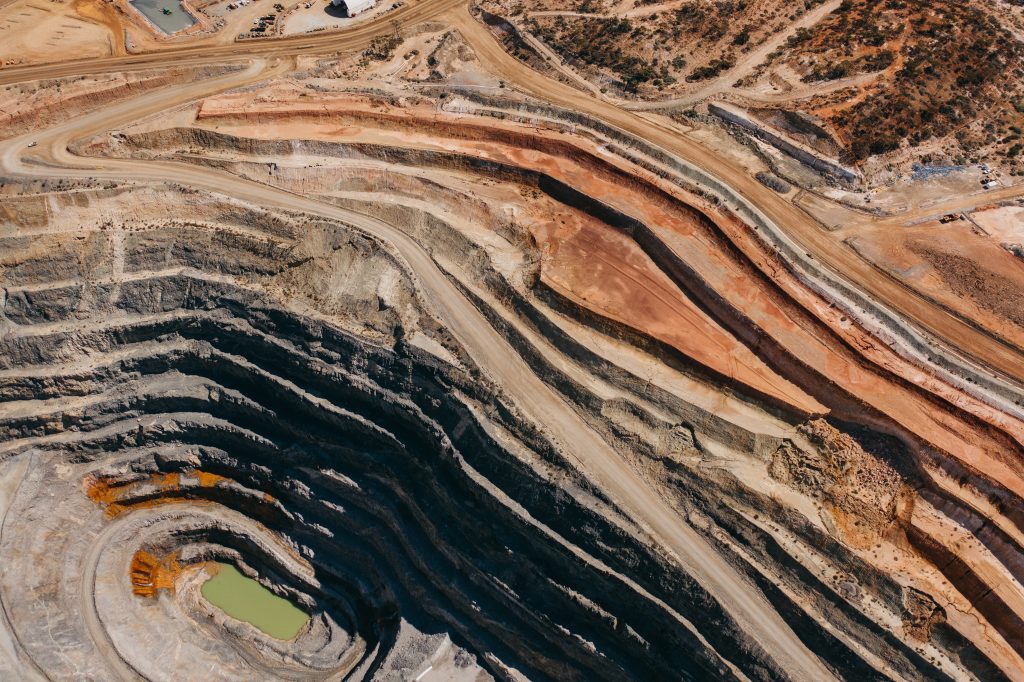
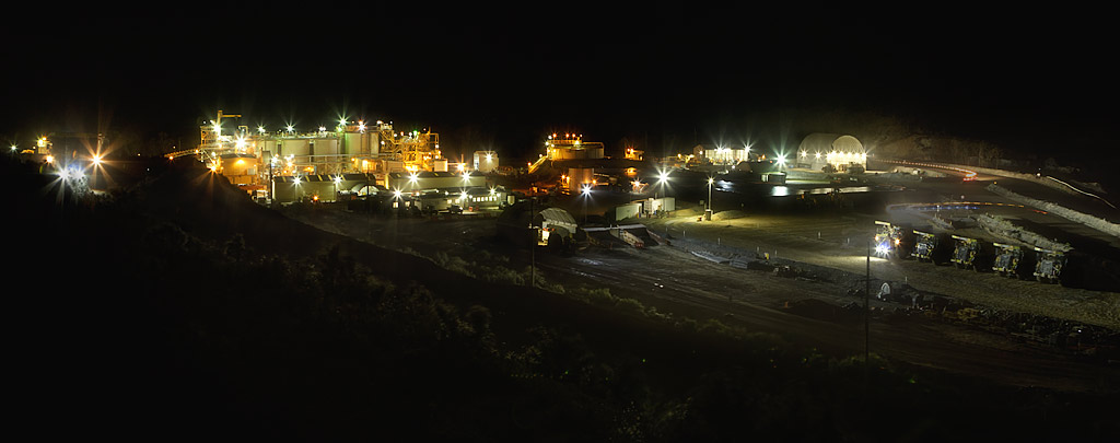
Edna May Gold Mine Lookout
The Edna May Gold Mine Lookout is located just off Warrachuppin Road on the northern edge of the townsite and provides great views of an operating open pit gold mine. Contact the Shire office on (08) 9046 7063 for Blast times and Lookout closures.
Address: Old Warrachuppin Road
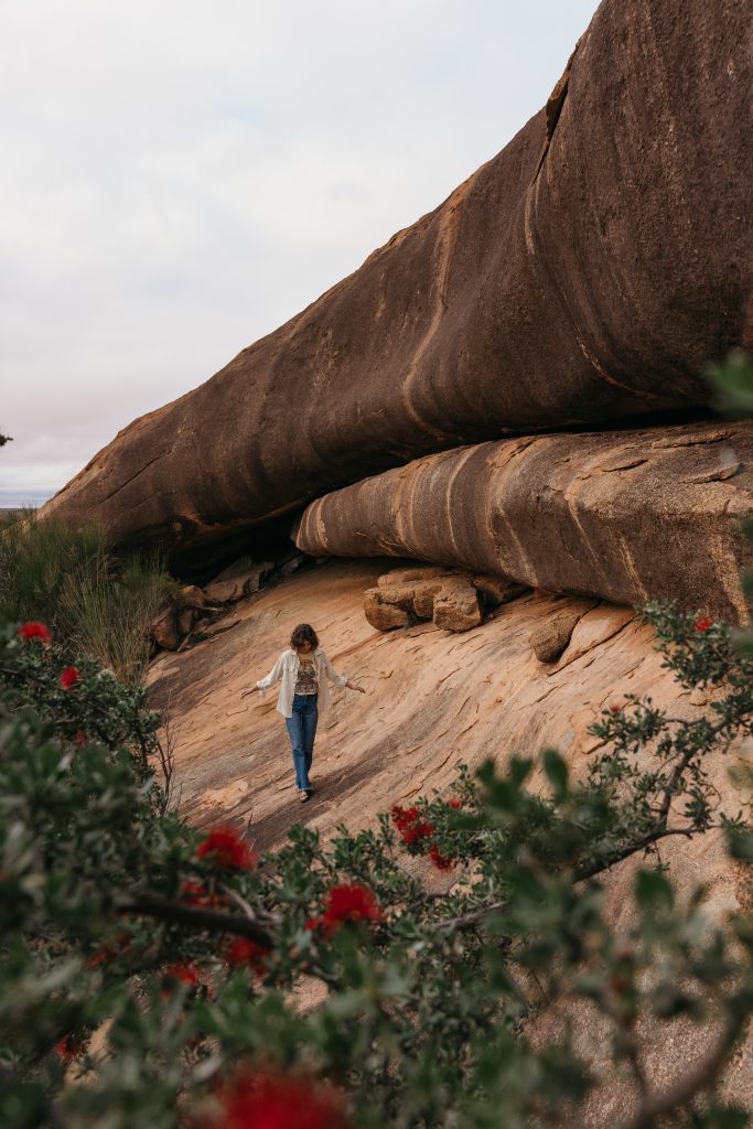
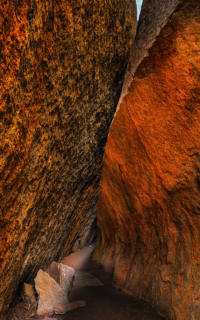
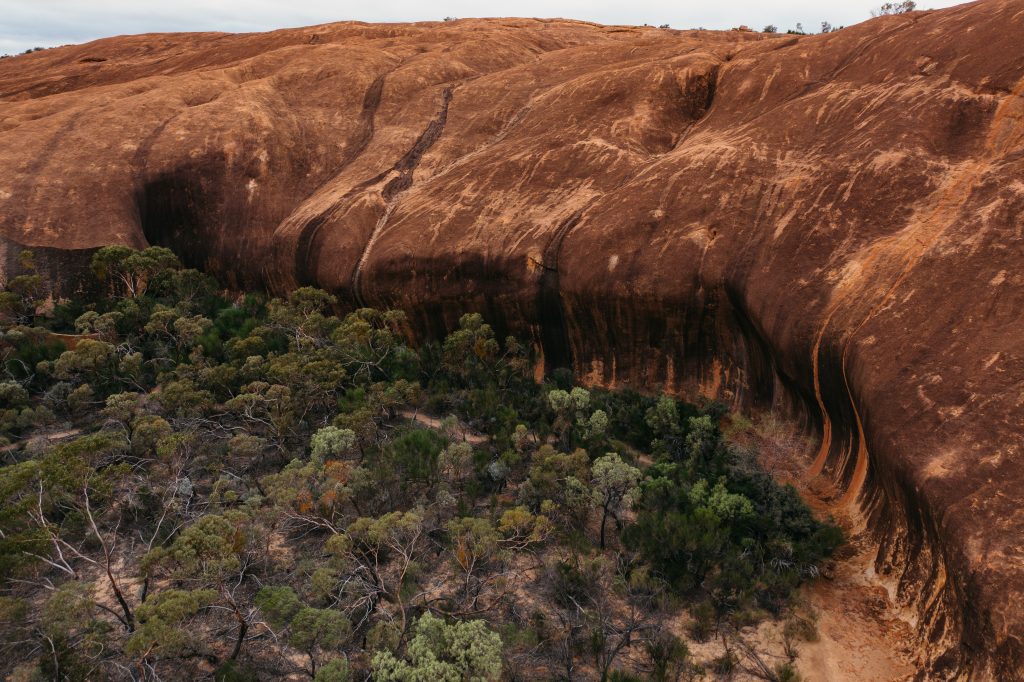
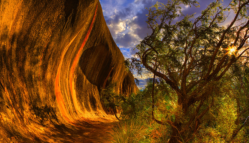
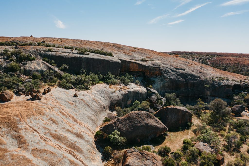
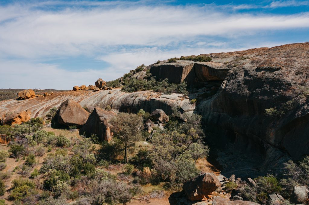
Elachbutting Rock
Located approximately 100 kms North of Westonia, Elachbutting Rock is a spectacular natural rock formation with similar features to Wave Rock with the added beauty of ‘Monty’s Pass’, a 30m tunnel caused by a rockslide. An echoing cave similar to an amphitheatre is close by.
The 6km track around the rock with its dense trees and shrubs hide many interesting species of flora. The east side is renowned for its masses of Donkey Orchids at the base to the rock. It is also on the western fringe of the Great Western Woodlands.
A single unisex toilet facility is present at Elachbutting Rock. Visitors are encouraged to take all they need for a day trip and then take all they took home with them again.
Address: 2157 Elachbutting Road, Elachbutting WA 6479
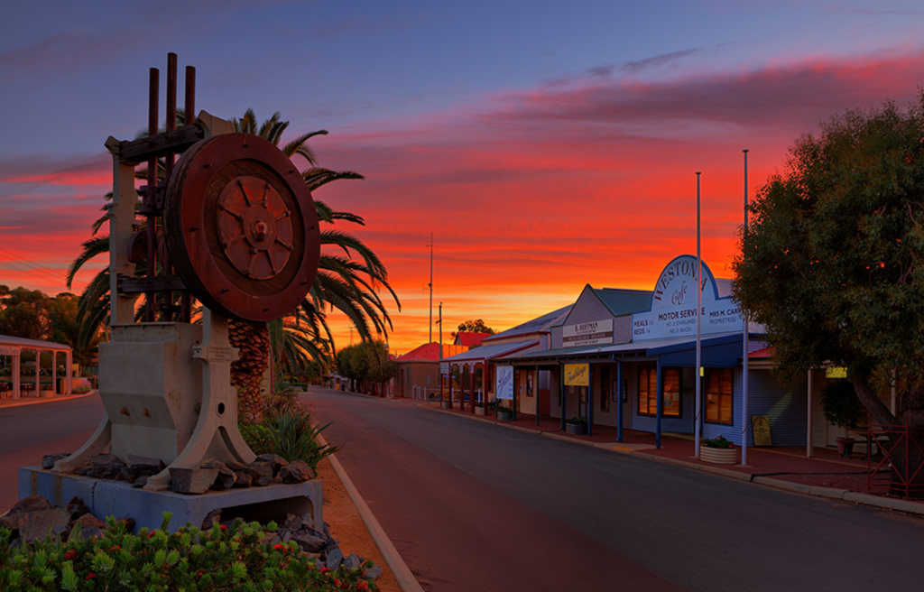
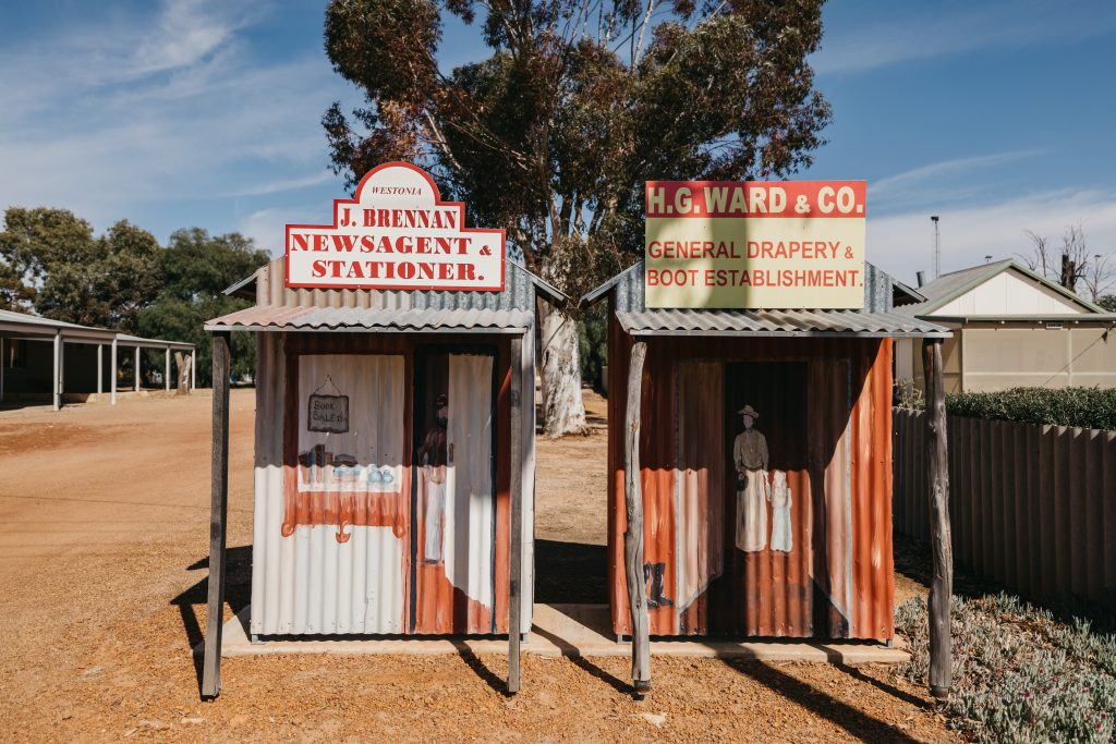
Wolfram Street Facades
Down the main street of Westonia, the facades of the town’s original bank, café and green grocer store have been recreated as part of the Façade Shop Front Project, which aimed to recreate the look of the main street during the 1900’s mining boom. The doors on these facades are real and open to the library and Shire Offices.
Address: 36 – 55 Wolfram Street, Westonia, 6423
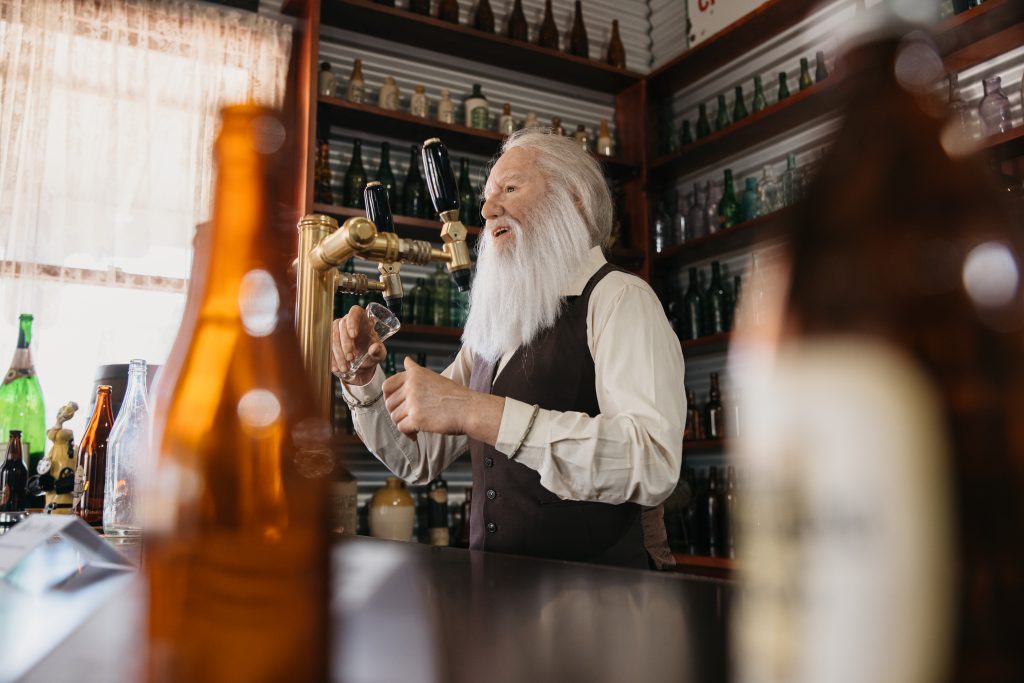
Hood - Penn Museum
This museum features a variety of social history scenes showcasing early life in the Shire. The museum also includes a mine tunnel and a blast simulation that aims to replicate life in an early Westonian gold mine. Open: Mon to Fri 9am-4.30pm
Address: 38 Wolfram Street, Westonia, 6423

Joans Leap
Joan’s Leap is situated approximately 1km East of the Westonia townsite along Boodarockin Road on the edge of the Edna May mine boundary. The site is significant to the people of the district because of the events which unfolded in the gold rush era. Story has it that a schoolgirl named Joan, was running along a High Mullock dump (rock from which gold has been extracted) not knowing that there was an uncovered mine shaft of approximately 200ft in depth in her path. With split second thinking the running event was changed into a long jump event, which would have put any Olympic athlete to shame. Joan landed on the opposite side of the shaft with little room to spare.
Address: Boodarockin Road (Just on the outskirts of town on the edge of the Mine)
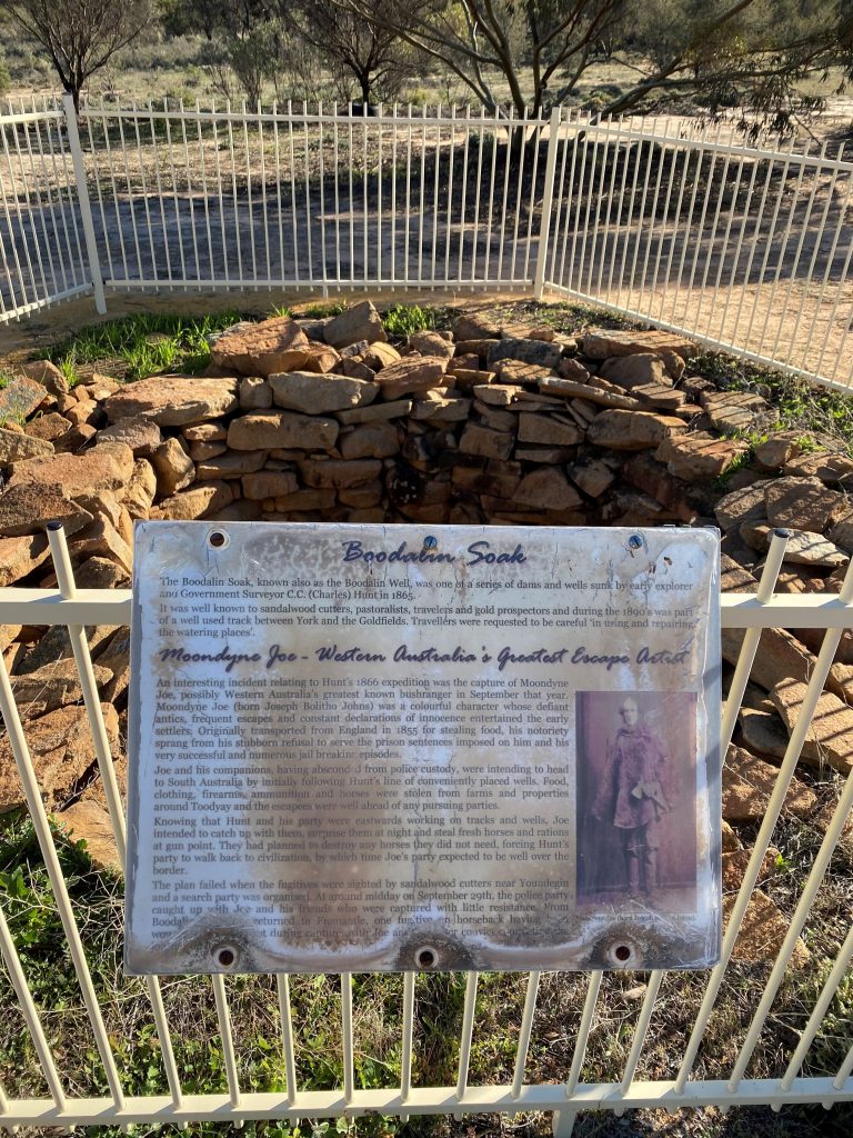
Moondyne Joe & Boodalin Soak
Boodalin Soak is the location where Moondyne Joe was tracked and captured on the 29th of September 1866. Moondyne Joe escaped prison early in the month of August and met up with three other escapees making robberies and narrowly avoiding capture. They left Perth by foot on the 5th of September along Explorer Charles Hunt’s established travellers route from York to Kalgoorlie. The idea was that the convicts would catch up to Hunt and his men working along the route and steal horses and supplies needed to get them to the South Australian border. However, their plans were foiled when their tracks were found 160kms east of York. A team of police then set out after them and eventually caught up with them at Boodalin Soak located roughly 6 km North West of the Westonia townsite.
Boodalin Soak also features a stone well, one in the series along Hunt’s trail. The well was excavated and lined by Charles Hunt with the help of convict labourers. The stonework lining is a dry-stone wall constructed in a circular fashion. Orchids & fascinating carpets of everlastings can be found through the spring months.
Address: Stoneman Road, Walgoolan 6422
Sandford Rock Nature Reserve
Located approximately 10 kms North East of the Westonia townsite, along the Boodarockin Road, the Sandford Rock Nature Reserve features a Bird Hide, rock pools, walk trail & picnic area.
The Sandford Rocks Discovery Trail guide booklet is available from the Shire Office.
Address: Sandford Rocks Nature Reserve, Westonia 6423
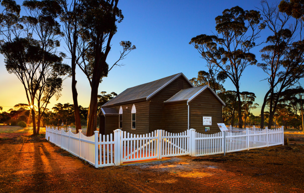
Westonia St Lukes Church
In 1916 Reverend Joseph Budge built St. Luke’s Church as both a church & meeting place at Naretha, a camp along the Trans Australian Railway (in the vicinity of Cocklebiddy, Western Australia). When the camp was disbanded in March 1918, the church was dismantled and railed to Kalgoorlie. The Bishop of Kalgoorlie, Dr Cyril Golding-Bird, then requested that the church be re-erected at Westonia, which was without a church and holding services in the town’s school or Miner’s Hall. The church was re-erected in Westonia in October of 1918. The architectural style of the building is typical of gold rush days with the use of weather board and iron.
48hr free Camping site for fully Self-contained RV’s only.
Address: 63 Wolfram Street, Westonia, 6423
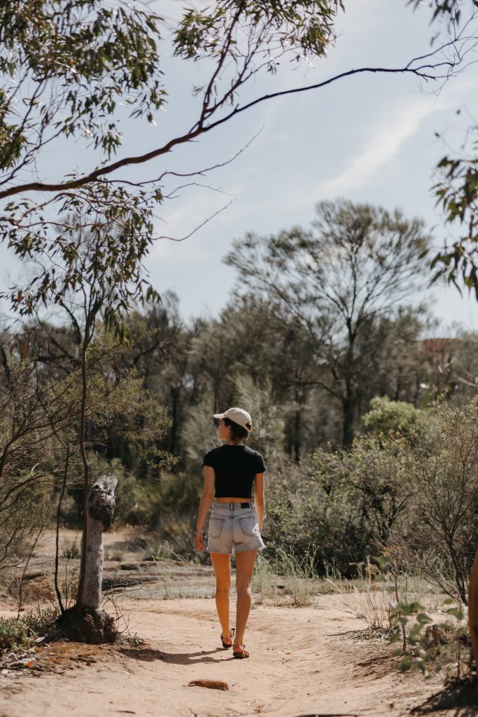
Woodlands & Wildflowers Heritage Walk Trail
Starting just outside the entrance to the Westonia caravan park you will find the start of the Woodlands and Wildflowers Heritage Trail. This 4km walk trail will take you through the Westonia Common woodland and back to town past historic points of interest. Keep an eye out for wildflowers in season.
Address: Trail starts on Wolfram Street (at the edge of Caravan Park)
Yanneymooning Reserve
Located on the corner of Elachbutting and Echo Valley Roads 75kms north of Westonia, Yanneymooning is a 513ha reserve comprising granite rock formations and bushland.
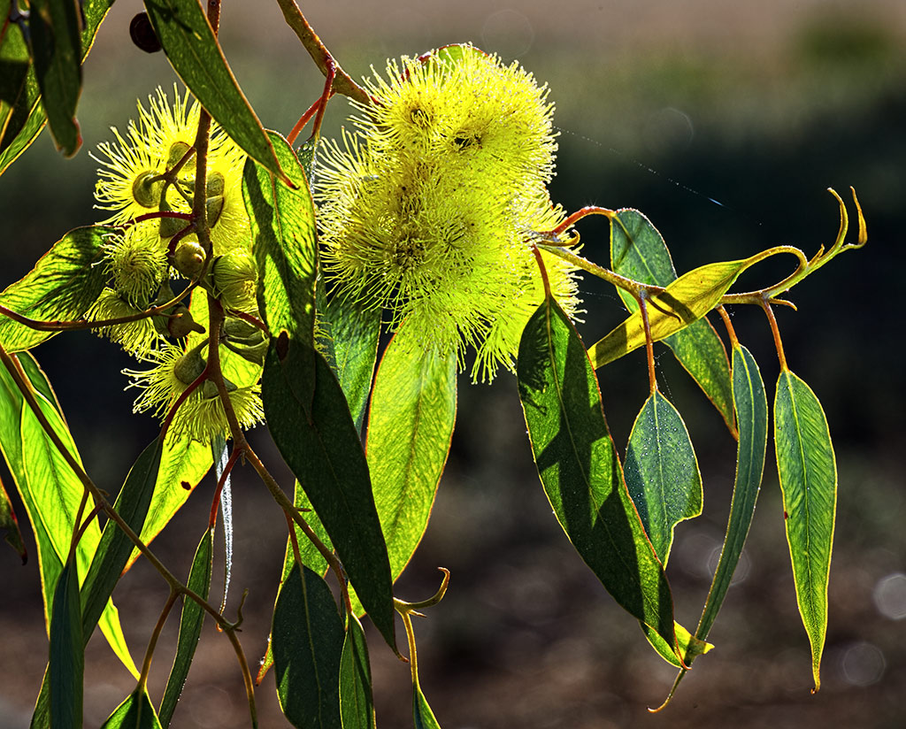
Yanneymooning offers spectacular views with a variety of bird life and flowers. The eucalyptus garden species “Silver Princess” in its natural state can be found on top of the rock cascading into the valley below. Cowslip and Patricia’s Spinder Orchid along with many others can be found at the base of the rock.
Address: Yanneymooning Nature Reserve, Elachbutting 6479
For more information about what there is to see and do, and where to stay in the Shire of Westonia visit:
Connect with the Shire of Westonia
Address:
Phone:
Email:
Website:
Facebook Link:
41 Wolfram Street, Westonia, WA 6423
(08) 9046 7063
shire@westonia.wa.gov.au
www.westonia.wa.gov.au
https://www.facebook.com/shireofwestonia